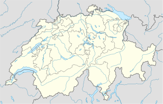
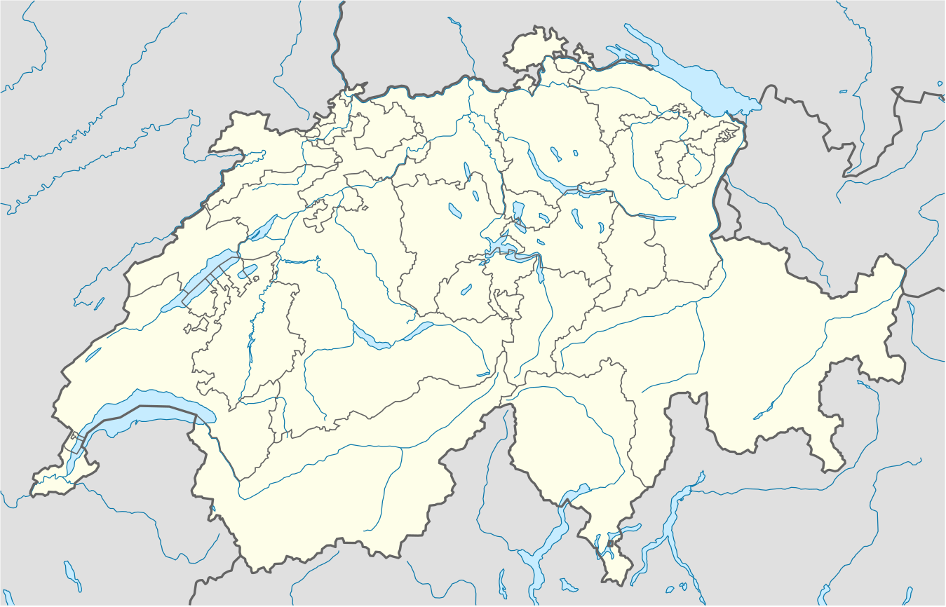
ଫାଇଲ:Switzerland location map.svg

Size of this PNG preview of this SVG file: ୮୦୦ × ୫୧୩ ପିକ୍ସେଲ. ବାକି ରେଜୋଲୁସନ: ୩୨୦ × ୨୦୫ ପିକ୍ସେଲ | ୬୪୦ × ୪୧୦ ପିକ୍ସେଲ | ୧,୦୨୪ × ୬୫୭ ପିକ୍ସେଲ | ୧,୨୮୦ × ୮୨୧ ପିକ୍ସେଲ | ୨,୫୬୦ × ୧,୬୪୨ ପିକ୍ସେଲ | ୧,୩୪୯ × ୮୬୫ ପିକ୍ସେଲ.
ମୂଳ ଫାଇଲ (SVG ଫାଇଲ, ସାଧାରଣ ମାପ ୧,୩୪୯ × ୮୬୫ ପିକ୍ସେଲ, ଫାଇଲ ଆକାର: ୨୫୮ KB)
This is a file from the Wikimedia Commons. Information from its description page there is shown below. |
ସାରକଥା
| ବିବରଣୀ |
Deutsch: Positionskarte der Schweiz
Quadratische Plattkarte, N-S-Streckung 146,138 %. Geographische Begrenzung der Karte:
English: Location map of Switzerland
Equirectangular projection, N/S stretching 146,138 %. Geographic limits of the map:
|
| ତାରିଖ | |
| ମୂଳାଧାର |
ଆପଣା କାମ, using
|
| ଲେଖକ | NordNordWest |
| ଅନ୍ୟ ସଂସ୍କରଣ |
Derivative works of this file: Location of Battle of Winterthur 1799.svg
|
| SVG genesis | This map was created with unknown tool. | style="margin:0.5em;" | This map has been made or improved in the German Kartenwerkstatt (Map Lab). You can propose maps to improve as well.
|} |
_location_map.svg)


ସତ୍ଵ
ମୁଁ, ଏହି କାମର ସତ୍ଵାଧିକାରୀ, ଏଠାରେ ତଳଲିଖିତ ଲାଇସେନ୍ସ ଅଧୀନରେ ଏହାକୁ ପ୍ରକାଶ କଲି:
ଏହି ଫାଇଲଟି କ୍ରିଏଟିଭ କମନ୍ସ ଅଧୀନରେ ଆଟ୍ରିବୁସନ ସେଆର-ଏଲାଇକ ୩.୦ ଅନପୋର୍ଟେଡ଼ ଲାଇସେନ୍ସରେ ପଞ୍ଜିକରଣ କରାଯାଇଅଛି ।
- ଆପଣ ଆରାମରେ:
- ବାଣ୍ଟିପାରିବେ – କାମଟିକୁ ନକଲ କରିପାରିବେ, ବାଣ୍ଟିପାରିବେ ଓ ପ୍ରସାରଣ କରିପାରିବେ
- ମିଶାଇପାରିବେ – କାମଟି ଅଭିଯୋଜନ କରିପାରିବେ
- ତଳଲିଖିତ ସର୍ତ୍ତାବଳୀ ଅଧୀନରେ:
- ଶ୍ରେୟ – ଆପଣ ମନେ କରି ଏହି କାମର ଆବଶ୍ୟକୀୟ ଶ୍ରେୟ ମୂଳ ଗଢ଼ାଳି ବା ସ୍ୱତ୍ୱାଧୀକାରୀଙ୍କୁ ଦେବେ ଏବଂ ଦେଲାବେଳେ ଲାଇସେନ୍ସର ଲିଙ୍କ ଦେଇ କି କି ବଦଳ କଲେ ଉଲ୍ଲେଖ କରିବେ । ଏହା ଉପଯୁକ୍ତ ଢଙ୍ଗରେ କରିବେ କିନ୍ତୁ ଲାଇସେନ୍ସ ଦେଉଥିବା ବ୍ୟକ୍ତି ଆପଣଙ୍କ ପ୍ରଚାର କଲା ଭଳି କିଛି ଲେଖିବେ ନାହିଁ ।
- ସେଆର ଏଲାଇକ – ଯଦି ଆପଣ ଏହି କାମଟିକୁ ବଦଳାଇବେ, ରୂପାନ୍ତରଣ କରିବେ ବା ଏହାକୁ ନେଇ କିଛି ଗଢ଼ିବେ ତେବେ ଆପଣ ଏହାକୁ ଏକା ବା ଅଲଗା ଲାଇସେନ୍ସ ଭିତରେ ରଖିପାରିବେ ।
Gallery
-
 relief
 -
 default
 -
 image1
 -
 image2
 -
 relief1
 -
 relief2
 -
 relief3


ଫାଇଲ ଇତିହାସ
ଏହା ଫାଇଲଟି ସେତେବେଳେ ଯେମିତି ଦିଶୁଥିଲା ତାହା ଦେଖିବା ପାଇଁ ତାରିଖ/ବେଳା ଉପରେ କ୍ଲିକ କରନ୍ତୁ
| ତାରିଖ/ବେଳ | ନଖ ଦେଖଣା | ଆକାର | ବ୍ୟବହାରକାରୀ | ମତାମତ | |
|---|---|---|---|---|---|
| ଏବେକାର | ୦୪:୨୦, ୧୮ ଡିସେମ୍ବର ୨୦୧୭ | | ୧,୩୪୯ × ୮୬୫ (୨୫୮ KB) | Reinhard Kraasch | Verlauf des Doubs korrigiert |
| ୧୫:୨୧, ୪ ଡିସେମ୍ବର ୨୦୦୯ |  | ୧,୩୪୯ × ୮୬୫ (୨୬୦ KB) | NordNordWest | c | |
| ୧୩:୫୭, ୧୨ ଅଗଷ୍ଟ ୨୦୦୯ |  | ୧,୩୪୯ × ୮୮୮ (୨୫୫ KB) | NordNordWest | no improvement, no changes without discussion about it | |
| ୧୩:୩୭, ୧୨ ଅଗଷ୍ଟ ୨୦୦୯ |  | ୧,୩୪୯ × ୮୮୮ (୨୬୦ KB) | Lukasb1992 | borders of cantons | |
| ୨୨:୩୩, ୧୬ ଜୁନ ୨୦୦୯ |  | ୧,୩୪୯ × ୮୮୮ (୨୫୫ KB) | NordNordWest | {{Information |Description= {{de|Positionskarte der Schweiz}} Quadratische Plattkarte, N-S-Streckung 150 %. Geographische Begrenzung der Karte: * N: 47.9° N * S: 45.75° N * W: 5.8° O * O: 10.7° O {{en|Location map of [[:en:Switzerland| |
ଫାଇଲ ବ୍ୟବହାର
ଏହି ସବୁପୃଷ୍ଠା ଏହି ଫାଇଲଟିକୁ ଯୋଡ଼ିଥାନ୍ତି:
ଜଗତ ଫାଇଲ ବ୍ୟବହାର
ତଳଲିଖିତ ଉଇକିସବୁ ଏହି ଫାଇଲଟିକୁ ବ୍ୟବହାର କରିଥାନ୍ତି:
- af.wikipedia.orgରେ ବ୍ୟବହାର
- am.wikipedia.orgରେ ବ୍ୟବହାର
- ar.wikipedia.orgରେ ବ୍ୟବହାର
- arz.wikipedia.orgରେ ବ୍ୟବହାର
- av.wikipedia.orgରେ ବ୍ୟବହାର
- az.wikipedia.orgରେ ବ୍ୟବହାର
- Cenevrə
- Sankt-Morits
- Şablon:Yer xəritəsi İsveçrə
- Sürix
- Qruyer
- Lozanna
- Sitqlogge
- Müqəddəs Ruh kilsəsi (Bern)
- İsveçrə Federal sarayı
- Bil
- Nyon
- Çuq (kanton)
- Bergün
- Bazel
- La-Şo-de-Fon
- Lütsern
- Fluntern qəbiristanlığı
- Davos
- Qraubünden
- Arqau
- Bua-de-Vo qəbiristanlığı
- Vo (kanton)
- Vil (Sankt-Qallen)
- Sankt-Qallen (kanton)
- Lauterbrunnen
- Vintertur
- Sankt-Qallen
ଏହି ଫାଇଲଟିର ଅଧିକ ବିଶ୍ୱବ୍ୟାପୀ ବ୍ୟବହାର ଦେଖନ୍ତୁ ।