ଫାଇଲ:NagerholeMap.jpg
ଏହି ଦେଖଣାର ଆକାର: ୭୪୧ × ୬୦୦ ପିକ୍ସେଲ । ବାକି ରେଜୋଲୁସନ: ୨୯୭ × ୨୪୦ ପିକ୍ସେଲ | ୫୯୩ × ୪୮୦ ପିକ୍ସେଲ | ୯୪୯ × ୭୬୮ ପିକ୍ସେଲ | ୧,୧୦୫ × ୮୯୪ ପିକ୍ସେଲ.
ମୂଳ ଫାଇଲ (୧,୧୦୫ × ୮୯୪ ପିକସେଲ, ଫାଇଲ ଆକାର: ୬୨୬ KB, ଏମ.ଆଇ.ଏମ.ଇର ପ୍ରକାର: image/jpeg)
This is a file from the Wikimedia Commons. Information from its description page there is shown below. |
ସାରକଥା
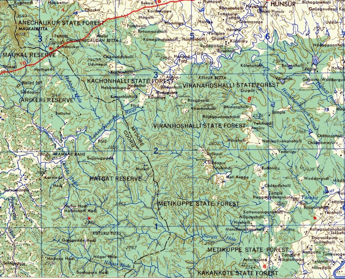
| ବିବରଣୀ | Map of Nagerhole area, India |
| ତାରିଖ | |
| ମୂଳାଧାର | http://www.lib.utexas.edu/maps/ams/india/ |
| ଲେଖକ | Army Map Service |
| ଅନୁମତି (ଏହି ଫାଇଲକୁ ପୁଣି ବ୍ୟବହାର କରିବେ) |
pd-us |
ସତ୍ଵ
This work is in the public domain in the United States because it is a work prepared by an officer or employee of the United States Government as part of that person’s official duties under the terms of Title 17, Chapter 1, Section 105 of the US Code.
Note: This only applies to original works of the Federal Government and not to the work of any individual U.S. state, territory, commonwealth, county, municipality, or any other subdivision. This template also does not apply to postage stamp designs published by the United States Postal Service since 1978. (See § 313.6(C)(1) of Compendium of U.S. Copyright Office Practices). It also does not apply to certain US coins; see The US Mint Terms of Use.
|
 | |
| ଏହି ଫାଇଲଟିକୁ ସବୁ ସମ୍ଭନ୍ଧିତ ଓ ପାଖାପାଖି ନୀତି ଅନୁସାଅରେ ସତ୍ଵାଧିକାର ନୀତି ଅନୁସାରେ ସମସ୍ତ କଟକଣାରୁ କୋହଳ କରାଯାଇଛି । | ||
ଫାଇଲ ଇତିହାସ
ଏହା ଫାଇଲଟି ସେତେବେଳେ ଯେମିତି ଦିଶୁଥିଲା ତାହା ଦେଖିବା ପାଇଁ ତାରିଖ/ବେଳା ଉପରେ କ୍ଲିକ କରନ୍ତୁ
| ତାରିଖ/ବେଳ | ନଖ ଦେଖଣା | ଆକାର | ବ୍ୟବହାରକାରୀ | ମତାମତ | |
|---|---|---|---|---|---|
| ଏବେକାର | ୧୦:୨୫, ୪ ଅକ୍ଟୋବର ୨୦୦୭ | | ୧,୧୦୫ × ୮୯୪ (୬୨୬ KB) | Shyamal | {{Information |Description=Map of Nagerhole area, India |Source=http://www.lib.utexas.edu/maps/ams/india/ |Date=1955 |Author=Army Map Service |Permission=pd-us |other_versions= }} |
ଫାଇଲ ବ୍ୟବହାର
ଏହି ସବୁପୃଷ୍ଠା ଏହି ଫାଇଲଟିକୁ ଯୋଡ଼ିଥାନ୍ତି:
ଜଗତ ଫାଇଲ ବ୍ୟବହାର
ତଳଲିଖିତ ଉଇକିସବୁ ଏହି ଫାଇଲଟିକୁ ବ୍ୟବହାର କରିଥାନ୍ତି:
- bn.wikipedia.orgରେ ବ୍ୟବହାର
- cs.wikipedia.orgରେ ବ୍ୟବହାର
- eo.wikipedia.orgରେ ବ୍ୟବହାର
- ml.wikipedia.orgରେ ବ୍ୟବହାର
- sat.wikipedia.orgରେ ବ୍ୟବହାର