ଫାଇଲ:Africa location map.svg

Size of this PNG preview of this SVG file: ୬୩୫ × ୬୦୦ ପିକ୍ସେଲ. ବାକି ରେଜୋଲୁସନ: ୨୫୪ × ୨୪୦ ପିକ୍ସେଲ | ୫୦୮ × ୪୮୦ ପିକ୍ସେଲ | ୮୧୩ × ୭୬୮ ପିକ୍ସେଲ | ୧,୦୮୪ × ୧,୦୨୪ ପିକ୍ସେଲ | ୨,୧୬୯ × ୨,୦୪୮ ପିକ୍ସେଲ | ୧,୫୨୫ × ୧,୪୪୦ ପିକ୍ସେଲ.
ମୂଳ ଫାଇଲ (SVG ଫାଇଲ, ସାଧାରଣ ମାପ ୧,୫୨୫ × ୧,୪୪୦ ପିକ୍ସେଲ, ଫାଇଲ ଆକାର: ୭୭୪ KB)
This is a file from the Wikimedia Commons. Information from its description page there is shown below. |
ସାରକଥା
| ବିବରଣୀ |
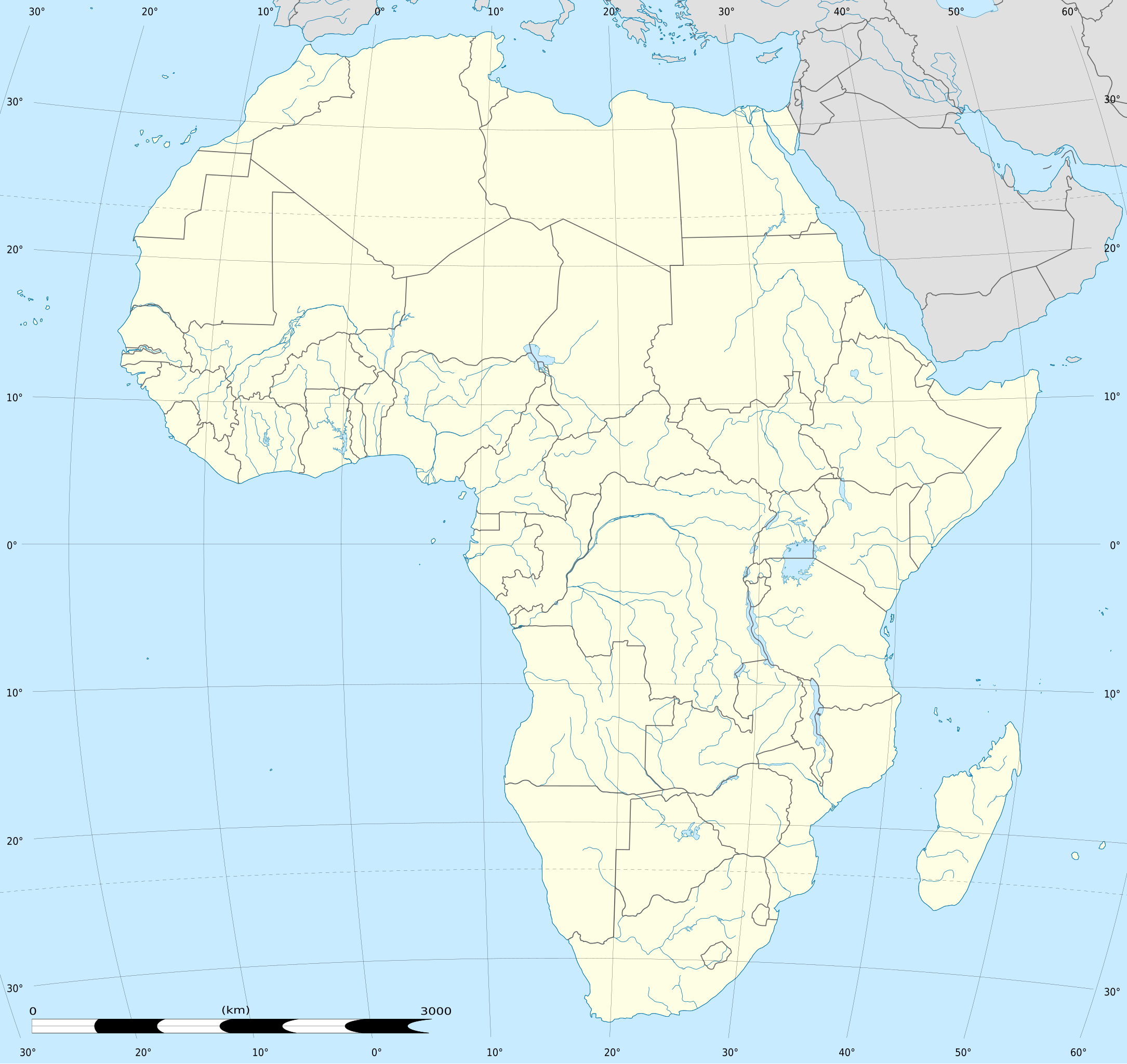
English: Blank administrative map of political Africa as in 2011-07, for geo-location purposes. On English Wikipedia, in "{{Location map Africa}}" to set marker along curved latitude/longitude lines.
Français : Carte administrative vierge de l'Afrique politique telle qu'en 07/2011, destinée à la géolocalisation. En Wikipédia Francais, a la Modèle:Géolocalisation/Afrique pour carte avec marqueur-image. A Lambert azimuthal equal-area projection, WGS84 datum
|
||
| ତାରିଖ | 2010-07-02, updated 2011-07 | ||
| ମୂଳାଧାର |
Based upon Africa map blank.svg created by myself
|
||
| ଲେଖକ | Eric Gaba (Sting - fr:Sting) | ||
| ଅନୁମତି (ଏହି ଫାଇଲକୁ ପୁଣି ବ୍ୟବହାର କରିବେ) |
|
||
| ଅନ୍ୟ ସଂସ୍କରଣ |
Derivative works of this file:
|
||
| SVG genesis | This locator map was created with Inkscape. |


| Camera location | | View this and other nearby images on: OpenStreetMap |
|---|
ସତ୍ଵ
Eric Gaba, Wikimedia Commons user Sting, ଏହି କାମର ସତ୍ଵାଧିକାରୀ, ଏଠାରେ ତଳଲିଖିତ ଲାଇସେନ୍ସ ଅଧୀନରେ ଏହାକୁ ପ୍ରକାଶ କଲେ:

|
ମାଗଣା ସଫ୍ଟବେର ଫାଉଣ୍ଡେସନ ଦେଇ ପ୍ରକାଶିତ କୌଣସି ବଦଳାଇ ନହେବା ଭଳି ଧାରା, ଆଗ ବା ପଛ ପଟ ମଲାଟ ବିନା GNU ଖୋଲା ଦଲିଲକାରଣ ଲାଇସେନ୍ସ ୧.୨ ତମ ସଙ୍କଳନ ବା ଆଉ କୌଣସି ସର୍ତ୍ତାବଳି ଅନୁସାରେ ଏହି ଦଲିଲର ନକଲ, ବଣ୍ଟନ ତଥା/କିମ୍ବା ବଦଳାଇବା ନିମନ୍ତେ ଅନୁମତି ଦିଆଗଲା । GNU ମାଗଣା ଦଲିଲକରଣ ଲାଇସେନ୍ସ ନାମକ ବିଭାଗରେ ଲାଇସେନ୍ସର ନକଲ ଦିଆଯାଇଅଛି । |
ଏହି ଫାଇଲଟି କ୍ରିଏଟିଭ କମନ୍ସ ଅଧୀନରେ ଆଟ୍ରିବୁସନ ସେଆର-ଏଲାଇକ ୩.୦ ଅନପୋର୍ଟେଡ଼ ଲାଇସେନ୍ସରେ ପଞ୍ଜିକରଣ କରାଯାଇଅଛି ।
ଶ୍ରେୟ: Eric Gaba, Wikimedia Commons user Sting
- ଆପଣ ଆରାମରେ:
- ବାଣ୍ଟିପାରିବେ – କାମଟିକୁ ନକଲ କରିପାରିବେ, ବାଣ୍ଟିପାରିବେ ଓ ପ୍ରସାରଣ କରିପାରିବେ
- ମିଶାଇପାରିବେ – କାମଟି ଅଭିଯୋଜନ କରିପାରିବେ
- ତଳଲିଖିତ ସର୍ତ୍ତାବଳୀ ଅଧୀନରେ:
- ଶ୍ରେୟ – ଆପଣ ମନେ କରି ଏହି କାମର ଆବଶ୍ୟକୀୟ ଶ୍ରେୟ ମୂଳ ଗଢ଼ାଳି ବା ସ୍ୱତ୍ୱାଧୀକାରୀଙ୍କୁ ଦେବେ ଏବଂ ଦେଲାବେଳେ ଲାଇସେନ୍ସର ଲିଙ୍କ ଦେଇ କି କି ବଦଳ କଲେ ଉଲ୍ଲେଖ କରିବେ । ଏହା ଉପଯୁକ୍ତ ଢଙ୍ଗରେ କରିବେ କିନ୍ତୁ ଲାଇସେନ୍ସ ଦେଉଥିବା ବ୍ୟକ୍ତି ଆପଣଙ୍କ ପ୍ରଚାର କଲା ଭଳି କିଛି ଲେଖିବେ ନାହିଁ ।
- ସେଆର ଏଲାଇକ – ଯଦି ଆପଣ ଏହି କାମଟିକୁ ବଦଳାଇବେ, ରୂପାନ୍ତରଣ କରିବେ ବା ଏହାକୁ ନେଇ କିଛି ଗଢ଼ିବେ ତେବେ ଆପଣ ଏହାକୁ ଏକା ବା ଅଲଗା ଲାଇସେନ୍ସ ଭିତରେ ରଖିପାରିବେ ।
ଆପଣ ନିଜ ପସନ୍ଦର ଲାଇସେନ୍ସ ବାଛିପାରିବେ ।
ଫାଇଲ ଇତିହାସ
ଏହା ଫାଇଲଟି ସେତେବେଳେ ଯେମିତି ଦିଶୁଥିଲା ତାହା ଦେଖିବା ପାଇଁ ତାରିଖ/ବେଳା ଉପରେ କ୍ଲିକ କରନ୍ତୁ
| ତାରିଖ/ବେଳ | ନଖ ଦେଖଣା | ଆକାର | ବ୍ୟବହାରକାରୀ | ମତାମତ | |
|---|---|---|---|---|---|
| ଏବେକାର | ୧୮:୧୦, ୨ ଅକ୍ଟୋବର ୨୦୧୨ | | ୧,୫୨୫ × ୧,୪୪୦ (୭୭୪ KB) | Palosirkka | Reverted to version as of 19:13, 14 July 2011 Location maps must remain very accurate |
| ୦୧:୪୫, ୧୩ ସେପ୍ଟେମ୍ବର ୨୦୧୨ |  | ୧,୫୨୫ × ୧,୪୪୦ (୫୨୪ KB) | Palosirkka | Scrubbed with http://codedread.com/scour/ | |
| ୦୦:୪୩, ୧୫ ଜୁଲାଇ ୨୦୧୧ |  | ୧,୫୨୫ × ୧,୪୪୦ (୭୭୪ KB) | Sting | Sudan/South Sudan 2011-07 border update | |
| ୦୧:୪୨, ୩ ଜୁଲାଇ ୨୦୧୦ |  | ୧,୫୨୫ × ୧,୪୪୦ (୫୭୩ KB) | Sting | == {{int:filedesc}} == {{Location|00|00|00|N|15|00|00|E|scale:30000000}} <br/>{{Information |Description={{en|Blank administrative map of political Africa, for geo-location purposes.}} {{fr|Carte administrative vierge de l'[[:fr:Afrique|Afr |
ଫାଇଲ ବ୍ୟବହାର
ଏହି ସବୁପୃଷ୍ଠା ଏହି ଫାଇଲଟିକୁ ଯୋଡ଼ିଥାନ୍ତି:
ଜଗତ ଫାଇଲ ବ୍ୟବହାର
ତଳଲିଖିତ ଉଇକିସବୁ ଏହି ଫାଇଲଟିକୁ ବ୍ୟବହାର କରିଥାନ୍ତି:
- af.wikipedia.orgରେ ବ୍ୟବହାର
- als.wikipedia.orgରେ ବ୍ୟବହାର
- an.wikipedia.orgରେ ବ୍ୟବହାର
- Alcher
- Addis Abeba
- Brazzaville
- Accra
- Buyumbura
- Abuja
- Chibuti (ciudat)
- N'Djamena
- Banjul
- Lilongwe
- Bamako
- Maseru
- Kigali
- Asmara
- Mbabane
- Bissau
- Bangui
- Plantilla:Mapa de localización Africa
- Victoria (Seychelles)
- Freetown
- Moroni
- Sant Tomé
- Saint-Denis (Reunión)
- Saint-Benoît (Reunión)
- Saint-Paul (Reunión)
- Saint-Pierre (Reunión)
- Mamoudzou
- ar.wikipedia.orgରେ ବ୍ୟବହାର
- ابن بطوطة
- الألعاب الإفريقية
- قالب:خريطة مواقع إفريقيا
- دوري أبطال إفريقيا 2014
- خطوط موزمبيق الرحلة 470
- الخطوط الجوية الجزائرية الرحلة 5017
- قائمة الأماكن التي زارها ابن بطوطة
- وحدة:Location map/data/Africa
- وحدة:Location map/data/Africa/شرح
- التنافس بين تونس وليبيا في كرة القدم
- التنافس بين تونس والمغرب في كرة القدم
- التنافس بين المغرب وليبيا في كرة القدم
- قائمة ملاعب نهائيات كأس الأمم الإفريقية
- دوري إفريقيا لكرة السلة 2021
- كأس الأمم الإفريقية 2027
ଏହି ଫାଇଲଟିର ଅଧିକ ବିଶ୍ୱବ୍ୟାପୀ ବ୍ୟବହାର ଦେଖନ୍ତୁ ।